Point Arena Surf Report and Surf forecast
Point Arena Surf Report
Point Arena Forecast
WAVE HEIGHT
WIND SPEED
WIND (GUST)
AIR TEMP
Other Surf Spots Nearby
Today's Point Arena Surf Report
Point Arena Daily Surf & Swell Forecast
Sunday 28 December Surf Forecast
Monday 29 December Surf Forecast
Tuesday 30 December Surf Forecast
Wednesday 31 December Surf Forecast
Thursday 1 January Surf Forecast
Friday 2 January Surf Forecast
Saturday 3 January Surf Forecast
More on Point Arena
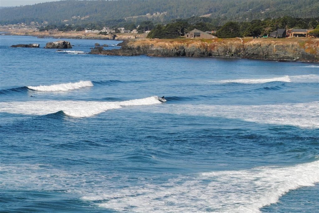
Point Arena is one of the best spots in the area. There are two waves here at this slab reef, a right and a left. The Left is one of the best waves in Northern California and works from chest high right through to 20ft+, though on smaller days in breaks pretty close to the reef ledge and can be dangerous. This slabby reef flicks the swell up into a steep jacking takeoff with a barrel and a thick lip, which then peels off into a deep channel. The right is similar in nature. There’s a rusted ship boiler on the inside which presents itself at low tide. The bigger the better here.
The left is the better option on smaller days and breaks south of the pier in front of the rock ledge More...